Related Posts
Kuranda Scenic Railway
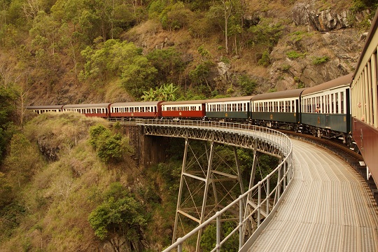 The Kuranda Scenic Railway goes over a bridge in Queensland
The Kuranda Scenic Railway goes over a bridge in Queensland
2012 eclipse - first contact
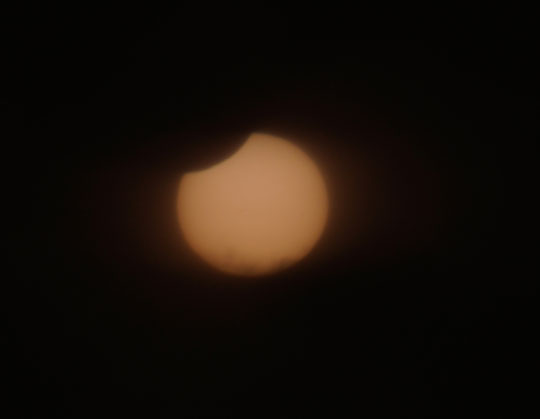 The start of the partial phases of the 2012 solar eclipse
The start of the partial phases of the 2012 solar eclipse
2012 Solar Eclipse - partial stages of the eclipse recommence
Video of third contact and the bgeinning of the partial eclipse during the 2012 eclipse seen from Port Douglas
Video of third contact and the bgeinning of the partial eclipse during the 2012 eclipse seen from Port Douglas
Why chase solar eclipses?
 Why I chase total solar eclipse all over the world
Why I chase total solar eclipse all over the world
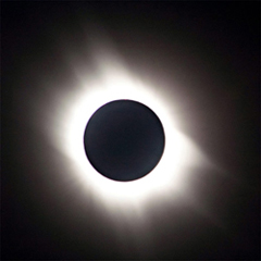
2012 Solar Eclipse totality seen from offshore of Port Douglas
 Video of totality during the 2012 eclipse seen from Port Douglas in Queensland
Video of totality during the 2012 eclipse seen from Port Douglas in Queensland
2012 eclipse information and schedule
2012 eclipse information and schedule in Queensland
2012 eclipse information and schedule in Queensland
2012 solar eclipse path - Australia map
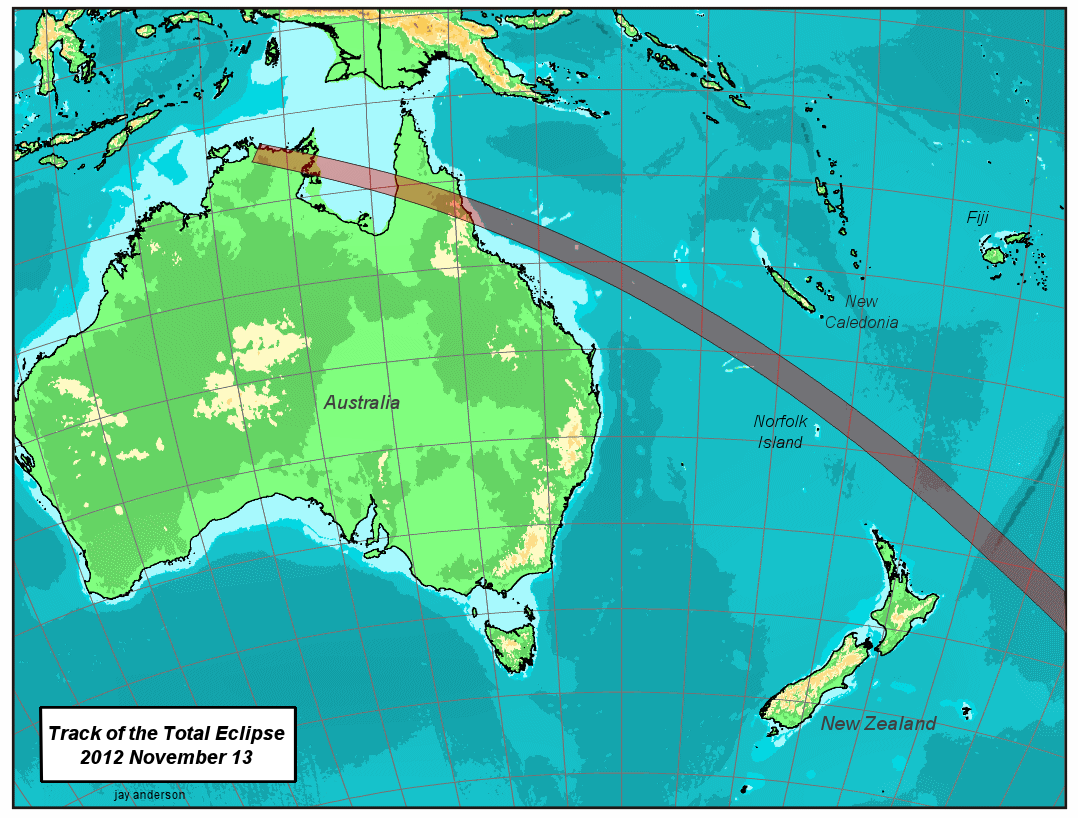 2012 total eclipse path across Australia and the Pacific
2012 total eclipse path across Australia and the Pacific
2012 solar eclipse path - global map
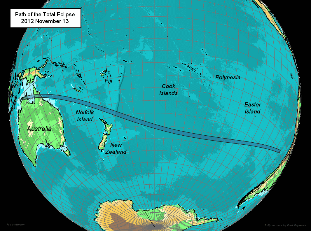 Global view of the 2012 total eclipse path
Global view of the 2012 total eclipse path